Explore Suriname
Coronie

Explore Suriname
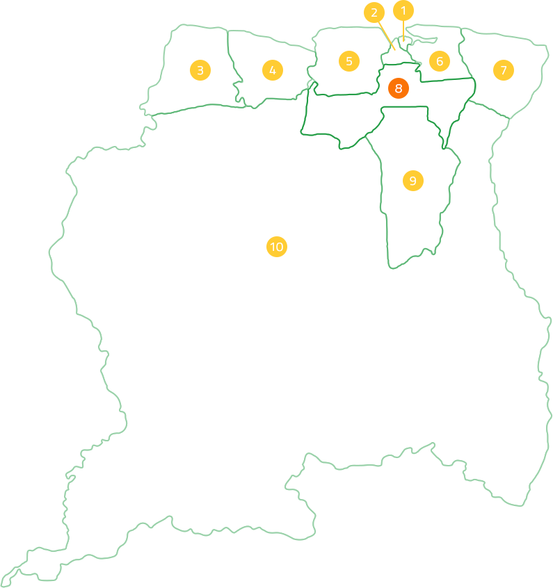
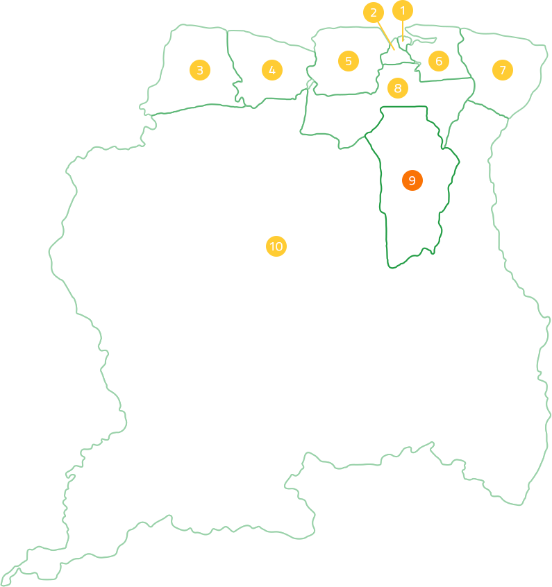
Coronie


The district Coronie is one of the districts located in the northwest of Suriname. The surface of Coronie is 3902 km2. The name Coronie is derived from the military post, located there. In the 19th century, Coronie was still part of the Nickerie district. The county seat of Coronie is Totness. The division took place in 1851. Coronie is subdivided into 3 jurisdictions. These resorts are named after their capital: Welgelegen, Totness and Johanna Maria. The English-language place names in Coronie are due to the time when Suriname was under British rule.
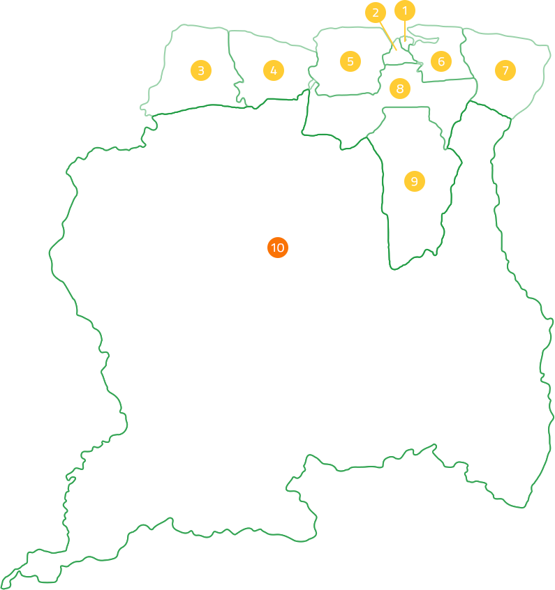
At the census in 2012, the district had 3,391 inhabitants, which makes Coronie the smallest community in Suriname. The population of the district consists for the most part of Creoles. After the abolition of slavery, most plantations were sold in parts to the freed slaves for agriculture. That is why the Creoles belong to the largest group of inhabitants of Coronie. Coronie is located along the East-West Connection, the road that runs from east to west through the north of Suriname. Before this connection, the district could only be reached by water.
Coronie is situated on fertile land, which means that the main livelihood of this district is agriculture. Coronie is known for its coconut palms, its coconut oil and material processed from coconut. In the past, coconut trees were widely planted. Nowadays this only happens on a small scale. A song has been written across the palms of Coronie and has been elevated to the district's national anthem.
RECENT ACTIVITIES

Krin

STIVASUR and SHATA sign Memorandum of Understanding to promote responsible hospitality
Suriname Among the Safest Places for U.S. Tourists in Latin America 2025

Suriname Energy, Oil & Gas Summit & Exhibition 2026
Krin
STIVASUR and SHATA sign Memorandum of Understanding to promote responsible hospitality
Suriname Among the Safest Places for U.S. Tourists in Latin America 2025
Suriname Energy, Oil & Gas Summit & Exhibition 2026