Explore Suriname
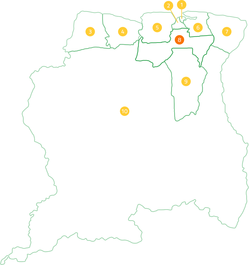
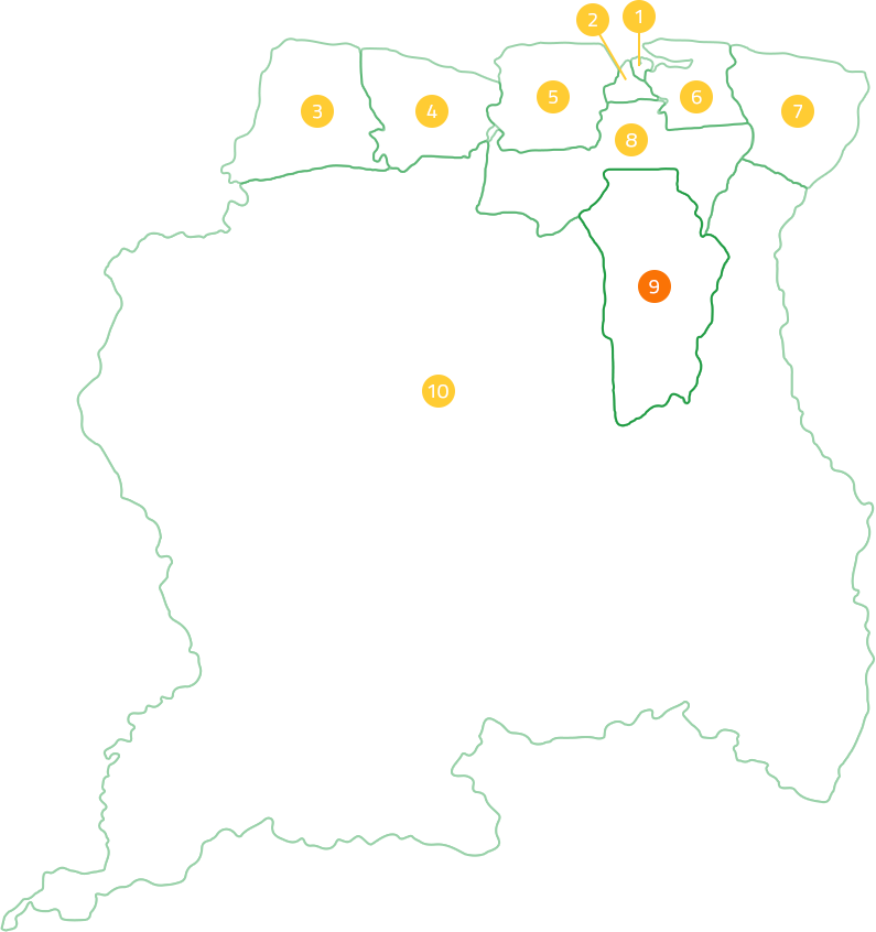
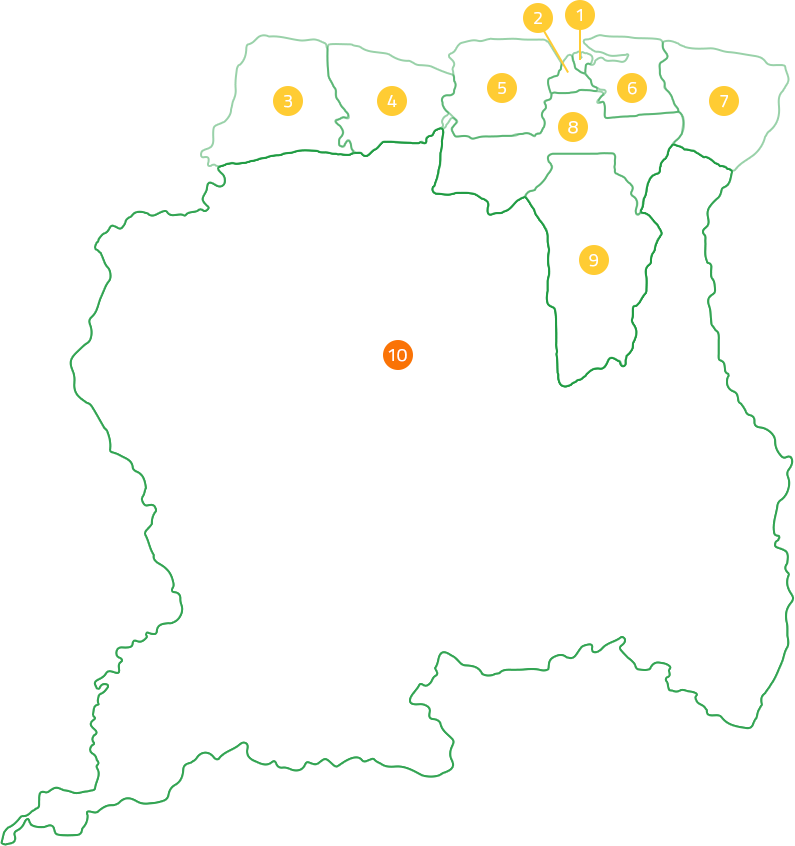
Nickerie

Explore Suriname
Nickerie


The Nickerie district is one of the districts located in the northwest of Suriname. Nickerie is bordered to the north by the Atlantic Ocean and to the west by the Corantijn River, which forms the border with Guyana. The Nickerie district has an area of 5353 km2. It is very likely that the name Nickerie is of Indian origin. At the 2012 census, the Nickerie district consisted of 34,233 inhabitants, the largest part of which consists of Javanese and Hindustani. The capital of the district is Nieuw-Nickerie and is the third largest city in Suriname in terms of population. Nieuw-Nickerie has a landing strip for airplanes and the port is also important, because sea-going ships can moor there for the transport of paddy (rice), bananas and the supply of agricultural machinery. Nickerie is subdivided into 5 jurisdictions. The main means of subsistence is agriculture. Rice cultivation is especially important in this; Nickerie is the largest rice producer in Suriname and is known among Surinamese as the 'rice district' of Suriname. Nickerie is blessed with the largest fertile area of Suriname. Until the last reclassification of Suriname, the rich bauxite layers and extensive forest areas also fell in this district. The mighty Corantijn River forms the border between this district and neighboring Guyana. Relations with this country have had an important significance for the development of this area throughout history.
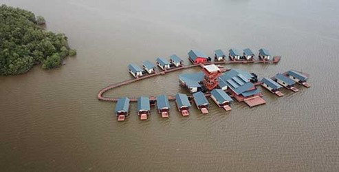
In the north of the district is the Special Management Area “Bigi Pan”, a vast protected area of 679 square kilometers around a lagoon, which consists of swampy wetlands and mangrove forests. The area is popular with bird watchers for its great diversity of birdlife, including the scarlet ibis, flamingos and the swamp buzzard that use the area for foraging. In addition, there are other freshwater and saltwater-loving species, including the caiman and clawed crabs.
RECENT ACTIVITIES

Krin

STIVASUR and SHATA sign Memorandum of Understanding to promote responsible hospitality
Suriname Among the Safest Places for U.S. Tourists in Latin America 2025

Suriname Energy, Oil & Gas Summit & Exhibition 2026
Krin
STIVASUR and SHATA sign Memorandum of Understanding to promote responsible hospitality
Suriname Among the Safest Places for U.S. Tourists in Latin America 2025
Suriname Energy, Oil & Gas Summit & Exhibition 2026