Explore Suriname
Sipaliwini
Explore Suriname
Sipaliwini


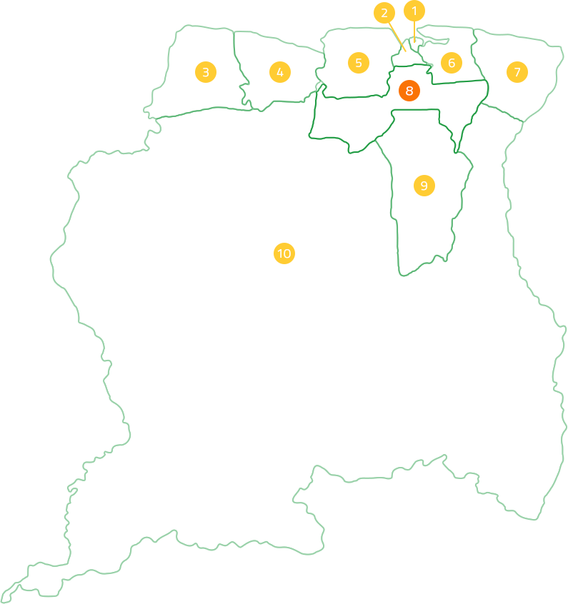
The Sipaliwini district is the largest district in Suriname and is located in the south of Suriname. The Sipaliwini district is the youngest of all 10 districts of Suriname and was called “the Binnenland district” until 1983. For the formation of this district, almost all districts had to give up part of their territory in the new division. The district borders in the north on the districts: Marowijne, Para, Brokopondo, Coronie and Nickerie. In the south, Sipaliwini borders Brazil. The border with Brazil is formed by the watershed between the Surinamese and Brazilian rivers. The area of the district is 130,567 km2. The district is subdivided into 7 districts. In 2012, there were 37065 people living in the district.
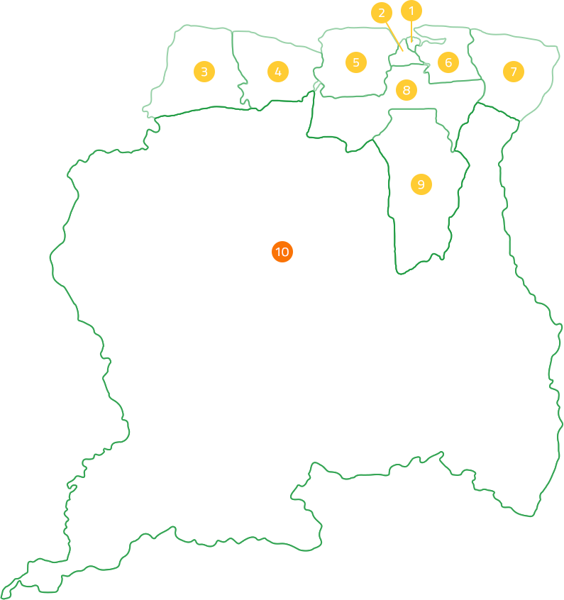
The district is sparsely populated and the inhabitants are descendants of the Maroons and Indigenous peoples. These groups have kept their traditional way of living and living in tribal groups in various villages along the Suriname River. The dense forest and low population density means that no major industrial activities take place in the district. However, gold is sought on a large scale. The pristine nature and landscape further make the district a leading ecotourism destination in Suriname. Many Indigenous and Maroon villages have tourist lodges, airstrips and other facilities that are also frequented and used by tourists.
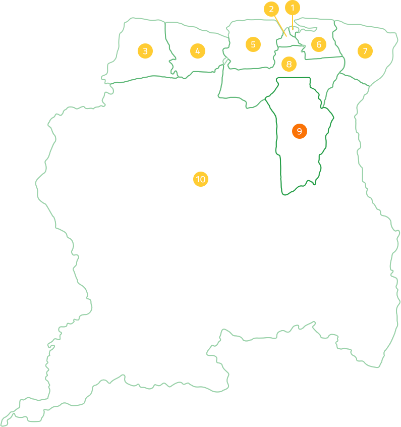
The central part of Sipaliwini consists of the Central Suriname Nature Reserve, which was established in 1998. This reserve includes and connects the former reserves, the Raleighvallen Nature Reserve, the Table Mountain Nature Reserve and the Eilerts de Haan Mountains Nature Reserve. With an area of 16,000 km² and one of the largest protected tropical rainforests in the world. The reserve has been a UNESCO World Heritage Site since 2000.
RECENT ACTIVITIES

Krin

STIVASUR and SHATA sign Memorandum of Understanding to promote responsible hospitality
Suriname Among the Safest Places for U.S. Tourists in Latin America 2025

Suriname Energy, Oil & Gas Summit & Exhibition 2026
Krin
STIVASUR and SHATA sign Memorandum of Understanding to promote responsible hospitality
Suriname Among the Safest Places for U.S. Tourists in Latin America 2025
Suriname Energy, Oil & Gas Summit & Exhibition 2026